December comes from the Latin for ten – meaning the tenth month. Of course, it is the twelfth month because the Romans added a couple of extra months especially to confuse us. For a discussion on this, look at an early blog post which explains the Roman Calendar.
In Anglo-Saxon it is ærra gēola which means the month before Yule. In Gaelic it is An Dùbhlachd – the Dark Days which is part of An Geamhrachd, meaning the winter, and the word comes from an early Celtic term for cold, from an ‘ancient linguistic source for ‘stiff and rigid’’, which describes the hard frosty earth. (see here for a description of the Gaelic Year). In Welsh, Rhafgyr, the month of preparation (for the shortest day).
For the Christian Church, it’s the period preparing for the arrival of the Messiah into the World. (see my post on Advent Sunday).
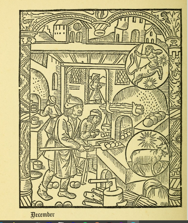
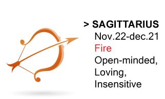
For a closer look at the month, I’m turning to the 15th Century Kalendar of Shepherds. Its illustration (see above) for December shows an indoor scene, and is full of warmth as the bakers bake pies and cakes for Christmas. Firewood has been collected, and the Goodwife is bringing something in from the Garden. The stars signs are Sagittarius and Capricorn.

The Venerable Bede has an interesting story (reported in ‘Winters in the World’ by Eleanor Parker) in which a Pagan, contemplating converting to Christianity, talks about a sparrow flying into a warm, convivial Great Hall, from the bitter cold winter landscape. The sparrow enjoys this warmth, but flies straight out, back into the cold Darkness. Human life, says the Pagan, is like this: a brief period in the light, warm hall, preceded and followed by cold, unknown darkness. If Christianity, he advises, can offer some certainty as to what happens in this darkness, then it’s worth considering.
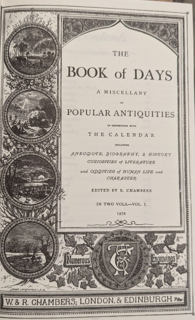
This contrast between the warm inside and the cold exterior is mirrored in Neve’s Almanack of 1633 who sums up December thus:
This month, keep thy body and head from cold: let thy kitchen be thine Apothecary; warm clothing thy nurse; merry company thy keepers, and good hospitality, thine Exercise.
Quoted in ‘the Perpetual Almanack of Folklore’ by Charles Kightly
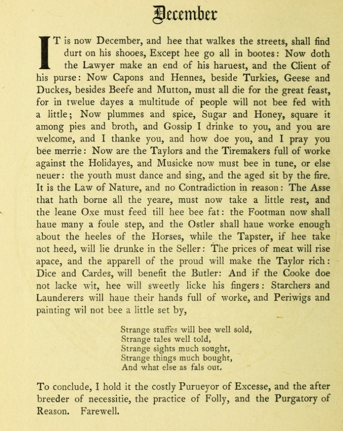
The Kalendar of Shepherds text below gives a vivid description of December weather. Dating from 1626 it gives a detailed look at the excesses of Christmas, who is on holiday, and who working particularly hard. But it concludes it is a costly month.
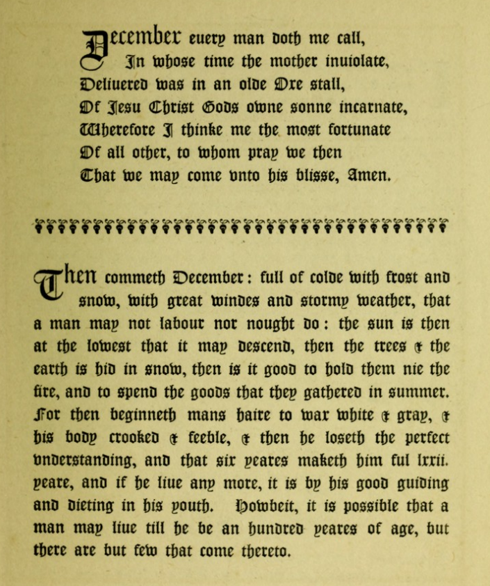
The other section of the Kalendar then elaborates on the last six years of a man’s life, with hair going white, body ‘crooked and feeble’. The conceit here is that there are twelve months of the year, and a man’s lot of ‘Six score years and ten’ is allocated six years to each month. So December is not just about the 12th Month of the Year but also the last six years of a person’s allotted span. The piece allows the option of living beyond 72, ‘and if he lives any more, it is by his good guiding and dieting in his youth.’ Good advice, as we now know. But living to 100 is open to but few.
About the Kalendar of Shepherds.
The Kalendar was printed in 1493 in Paris and provided ‘Devices for the 12 Months.’ The version I’m using is a modern (1908) reconstruction of it. It uses wood cuts from the original 15th Century version and adds various texts from 16th and 17th Century sources. (Couplets by Tusser ‘Five Hundred Parts of Good Husbandrie 1599. Text descriptions of the month from Nicholas Breton’s ‘Fantasticks of 1626. This provides an interesting view of what was going on in the countryside every month.
The original can be found here: https://wellcomecollection.org/works/f4824s6t
To see the full Kalendar, go here: